MAHS

MAHS Cherryfield Project

MAHS


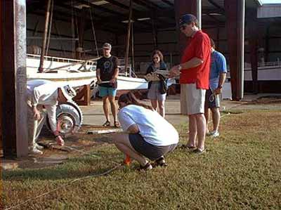
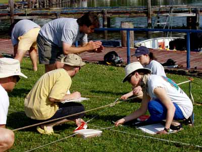
Research questions and mapping objectives were developed from various sources and incorporated into the field schools conducted on the site.   For example, barges and barge schooners were often built to similar dimensions although with slightly different length-to-beam ratios.   Gathering data on known measurements provided a baseline for comparison with the Cherryfield Point wreck.


White House in 1862


Although all mapping techniques are discussed during the classroom course, for most students the field school represents their first opportunity to work on an actual wreck site.


White House in 1862


The primary mapping technique used by MAHS is baseline trilateration, and a dryland practice session was held for each class prior to departing for the site.


Methods continued   |

MAHS Project List