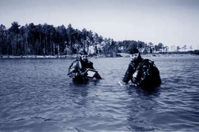
The initial survey consisted of a wading reconnaissance of the area to determine what remains were present. Features
found on the site were marked with floats attached to bricks or the artifact itself. A baseline was run along the
keelson of the wreck, and a datum point was established at the northeast end where exposed frame tips from both sides of
the vessel converged on a single timber. This point was tentatively identified as a portion of the stem post, and its
location was recorded using GPS.
|

Data recording was accomplished with conventional mylar and pencil, although a precision GPS unit
and a laser range finder, provided by the National Park Service, GPS Lab, were also used.
|