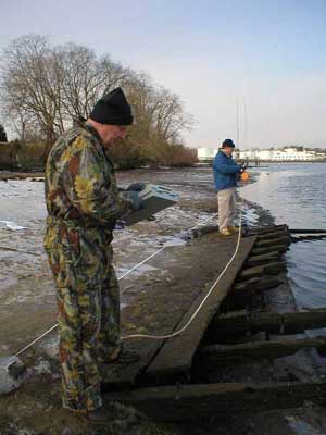
MAHS

Upper Wicomico #1

MAHS

MAHS visited the site in part to determine whether it would be appropriate for an upcoming field school.   The team planned the site visit to coincide with low tide and were fortunate to experience a seasonal low tide that left nearly the entire wreck and surrounding river bottom exposed.

In the cold winds, the river silts froze quickly after being exposed, making it possible to walk to and around the wreck with relative ease.   The team took advantage of these conditions to map and document the site.  

documenting the wreck


The wreckage consisted of a section of hull from a large wooden vessel.   The hull fragment measured approximately 12.5 meters (41 feet) in length and 3.5 meters (11.5 feet) at its widest point.

Next   |

Previous   |

MAHS Project List