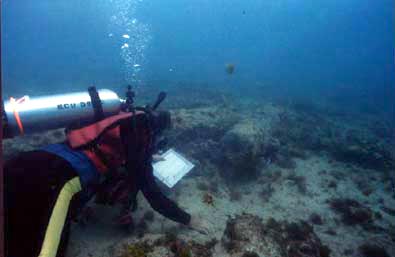
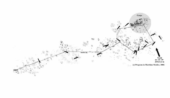
The archaeological site was marked by 18 cannons and two large anchors. To map the site, several of the
cannons were used to secure a single length of cable that served as a segmented baseline. Measured increments
along the cable allowed divers to trilaterate objects and areas of interest in the debris field.
Based on the locations of the
cannons and anchors, along with debris such as ship fasteners and iron remnants embedded in the reef frame, the initial
point of contact with the reef and the subsequent position of the ship were reconstructed.