MAHS

Return to the Upper Wicomico River

MAHS


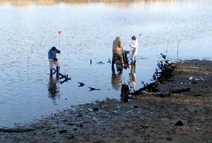
Predictions were for a tide almost as low as on our original visit in February of 2007.   But water levels were not as low as before, so the total station served us well, allowing us to quickly complete a preliminary map of the major features of the wreck .


hull fragment at low tide


Points were taken along the midline of the vessel and at the end of each surviving frame .   In the image above, on the left a range pole is being placed on the end of one of the starboard frames in advance of recording the point.


Next   |

MAHS Project List