MAHS Pamunkey River Project |
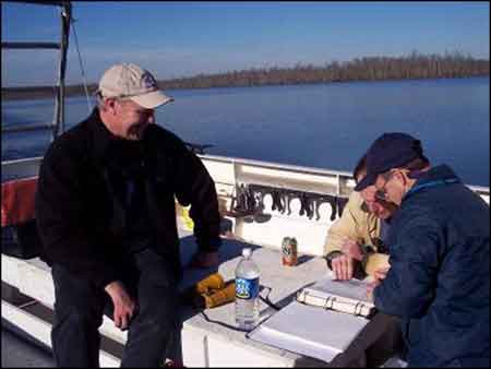
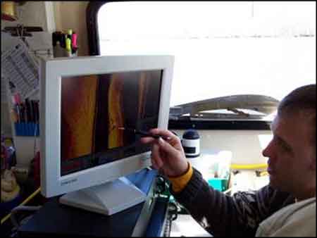
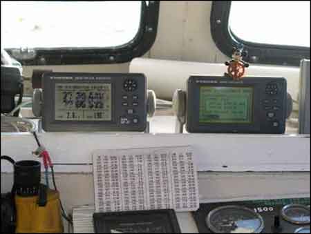
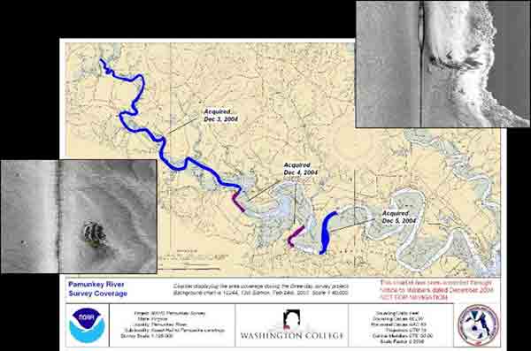
Teaming with archaeologists from NOAA and Washington College, in Chester, Maryland, MAHS completed a side-scan sonar survey of 14 miles of the Pamunkey, from Cumberland to Garlick’s Landing. |
|
|
|
| |
|
Next | |
Previous | |